- Report Number: 78
- Year: 1997
Reconnaissance Geology of a Proposed Dam/Reservoir Site in Southern Guam
This report describes the rationale, methodologies, results, and conclusions drawn from a six-week long class exercise project. The study was undertaken to train Environmental Science graduate students with no prior geologic experience to undertake a reconnaissance level field geology project. They were given the task of conceptualizing an environmental geology problem and carrying out certain simple but fundamental field procedures required of a geologist who might be called on to investigate that problem.
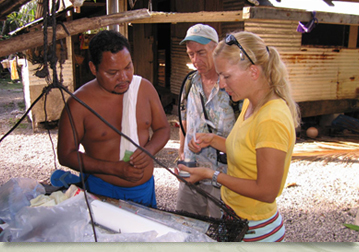
The class of six graduate students investigated the feasibility, solely on geologic grounds, of constructing and maintaining a relatively large water supply dam and reservoir on the Inarajan River in southern Guam. Although the study focused on field geology, students were required to know and integrate results of related studies, especially those involving hydrology, and to have studied air photos. Field assignments were roughly grouped into three broad overlapping categories: (a) bedrock geology, (b) surficial processes, and (c) water resources, with two students assigned to each group.
This study showed that a rigorous, short-term reconnaissance geologic field study can be structured as a training module to provide a wealth of information that would be useful in judging the feasibility of constructing a significant water storage dam and reservoir. The study demonstrated that small groups of relatively inexperienced science graduate students can be trained on-the-job to assemble critical field observations and measurements on which planning decisions could be reasonably based. The study further demonstrated that such reconnaissance efforts are a cost-effective way to identify potential geologic impacts on large-built structures in Guam.
- Author(s):
- Peter-Paul G. Dumalaing
- Louanne C. Guzman
- John M. U. Jocson
- Russell R. Lewis
- David C. Moran
- John F. Salas
- Galt H. Siegrist Jr.